Locator Guys
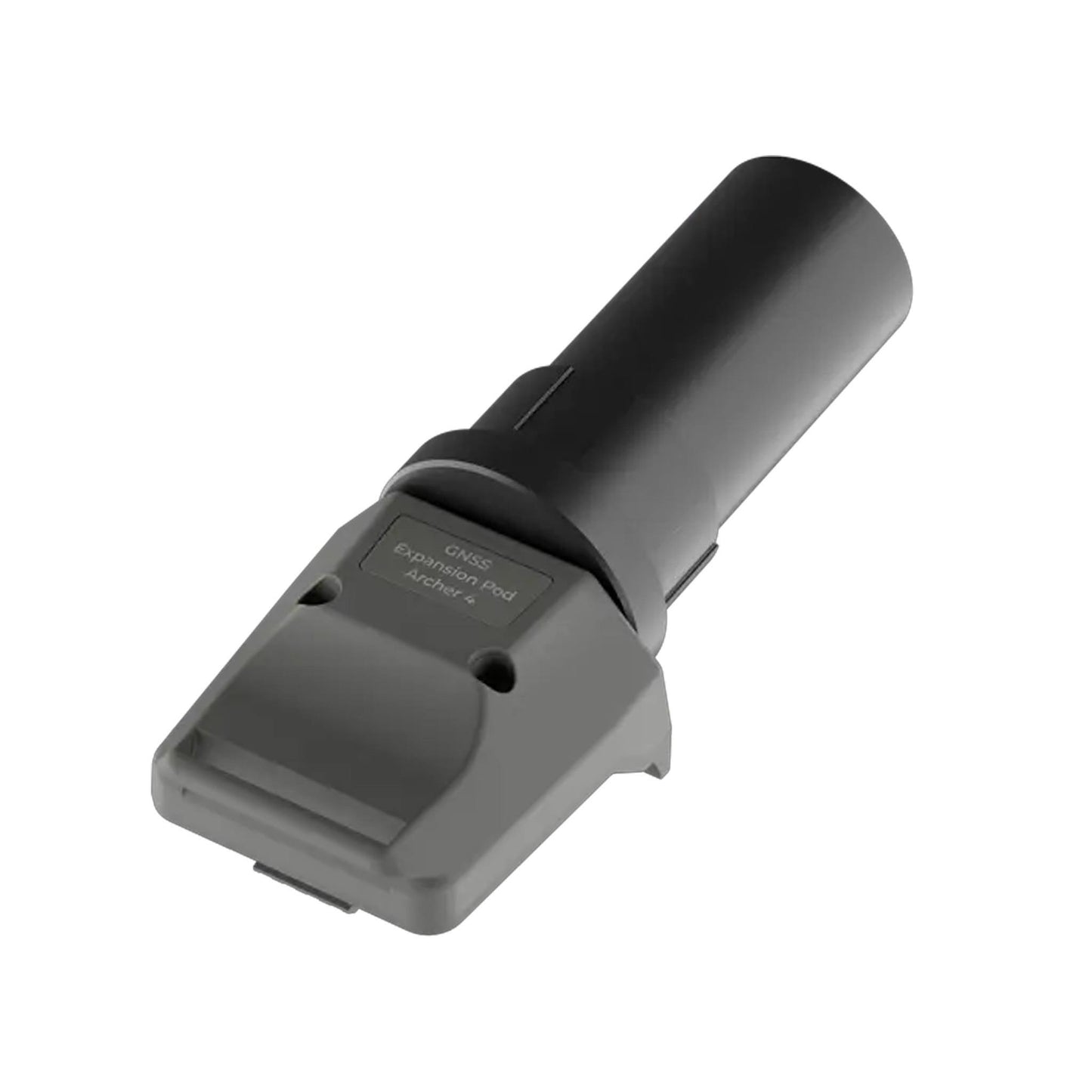
30770 | GNSS Expansion Pod
30770 | GNSS Expansion Pod
GNSS Expansion Module for High-Accuracy Mapping & Utility Data Collection
The 30770 GNSS Expansion Pod transforms the Archer 4 into a high-precision mapping solution, delivering scalable accuracy from sub-meter to centimeter-level positioning with RTK capabilities. Designed to attach seamlessly to the back of the device, it creates a compact, one-handed data collection system ideal for GIS mapping, utility locating, and surveying applications. With advanced multi-constellation GNSS support and reliable field performance, this expansion module enables professionals to capture accurate geospatial data efficiently in demanding environments.
Couldn't load pickup availability
More Information
More Information
Limited Inventory**********
Key Features
- Scalable Accuracy from Sub-Meter to Centimeter The GNSS Expansion Pod delivers flexible positioning performance, supporting sub-meter accuracy out of the box and upgradable to centimeter-level precision with RTK corrections. This scalability makes it suitable for everything from basic asset mapping to professional survey-grade workflows.
- Seamless Integration with the Archer 4 Designed to attach directly to the back of the Archer 4 handheld, the pod creates a unified, one-handed data collection system. The integrated form factor eliminates cables and external receivers, keeping field operations streamlined and efficient.
- Multi-Constellation GNSS Support Equipped with advanced multi-frequency, multi-constellation GNSS technology, the expansion pod tracks signals from GPS, GLONASS, Galileo, BeiDou, and other systems. This ensures faster fixes, improved accuracy, and dependable performance even in challenging environments with limited sky view.
- Rugged, Field-Ready Construction Built to match the durability of the Archer 4, the GNSS Expansion Pod withstands rain, dust, and rough handling on demanding job sites. Its compact, lightweight design adds high-precision capability without sacrificing portability or comfort during long field shifts.
- Optimized for GIS, Utility, and Survey Applications The expansion pod supports leading GIS, mapping, and survey software, making it a versatile tool for utility locating, asset inventory, boundary mapping, and inspection workflows where accurate geospatial data is critical.
Best For
- GIS & Mapping Professionals: Ideal for collecting accurate geospatial data, mapping assets, and managing inventories with scalable precision.
- Utility & Field Service Teams: Perfect for utility locating, infrastructure mapping, and inspections requiring reliable sub-meter to centimeter accuracy.
- Surveying & Construction Use: Delivers RTK-capable performance for boundary work, site layout, and as-built documentation in the field.
Tech Specs
- Compatibility: Designed for the Archer 4 rugged handheld
- Accuracy: Sub-meter standard; centimeter-level with RTK corrections
- GNSS Support: Multi-frequency, multi-constellation (GPS, GLONASS, Galileo, BeiDou, QZSS, SBAS)
- Form Factor: Rear-mounted expansion pod for one-handed operation
- Connectivity: Direct integration with Archer 4; supports Bluetooth and corrections services
- Durability: Rugged, field-ready housing matched to Archer 4 IP rating
- Power: Powered through the Archer 4 host device
- Software Support: Compatible with leading GIS, mapping, and survey applications
Take your field data collection to the next level with the 30770 GNSS Expansion Pod—engineered for precision, portability, and seamless integration with the Archer 4. Whether you're mapping utilities, managing GIS assets, or conducting survey-grade work, this expansion module delivers the accuracy and reliability professionals need to get the job done right.
Share